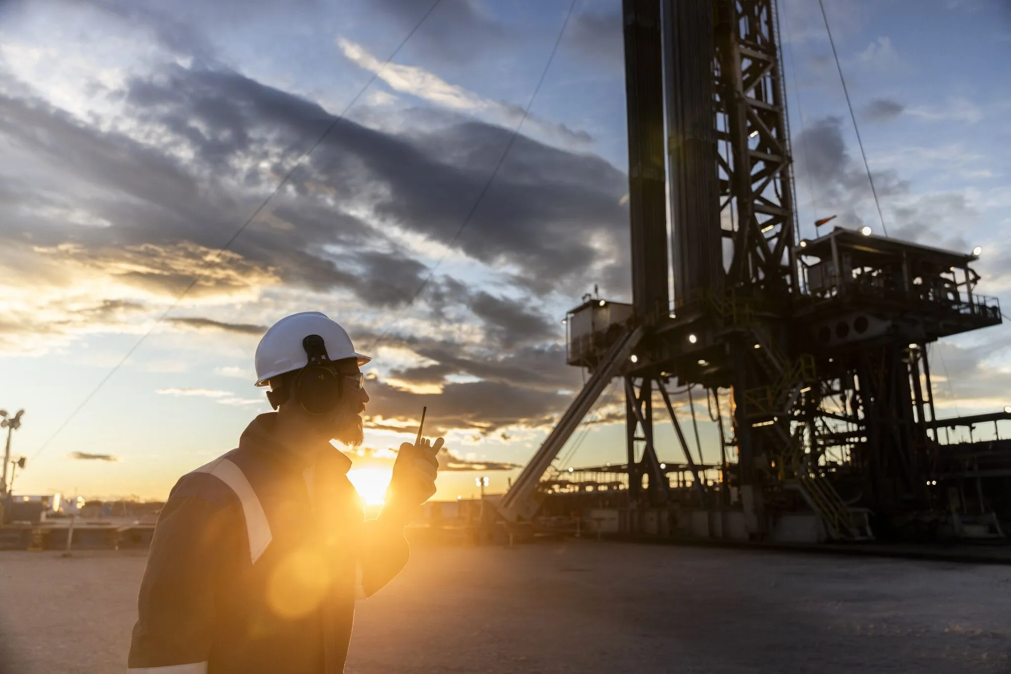
What is Geonavigation?
Geonavigation is a well construction and optimization technique that integrates professionals from different disciplines (geology, geophysics, petrophysics, and drilling) with advanced technologies, enabling precision drilling within specific geological targets, such as Vaca Muerta.
Vaca Muerta is a shale formation that can be over 400 meters thick, yet its productivity varies significantly across different layers.
By analyzing geological and petrophysical data, this technique allows the drilling trajectory to be adjusted in real time to remain within the richest rock layers.